

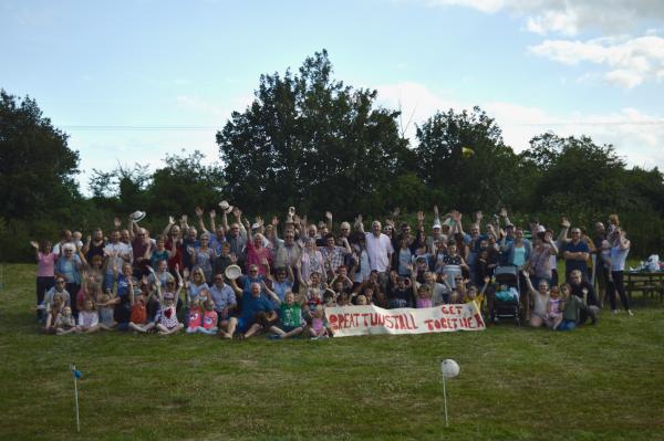
 And a big "HELLO" from all the residents of Tunstall
This rural Parish in the County of Suffolk covers some four and a half square miles, approximately two thirds of which lie within the Suffolk Coast & Heaths Area of Outstanding Natural Beauty (the boundary of which is defined by the B1069 road as it cuts diagonally across the Parish).
Within the Parish there are broadly three centres of occupation:
Few people realise that it is Tunstall Parish which encompasses the unique Victorian complex at Snape Maltings including its world renowned Concert Hall — these outstanding facilities are understood to represent the most popular tourist attraction in the county.
Click here to download our hand drawn Tunstall Parish Footpath Map. It is a large file and you may find it takes a little time to open. Our thanks to Violet Skeet who oversaw the project to produce this map.
We are also pleased to announce that the 2016 Definitive Tunstall Footpaths Map, produced by Suffolk County Council, is now available to view in the bus shelter outside the Green Man Pond in the centre of the village. The OS map that covers Tunstall is Explorer 212 and can be found here
The District Council for the area is East Suffolk Council with Suffolk County Council responsible for county-wide issues.